
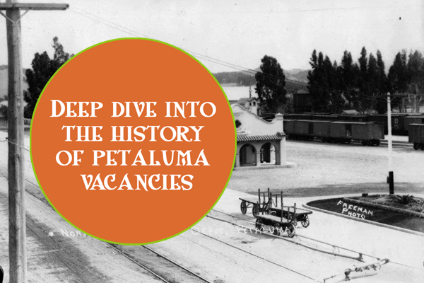
The Vacancy Project’s map highlights vacancies in Petaluma’s urban core within a half-mile radius of the intersections or Petaluma Blvd North and Washington Street. Many parcels on the map are within the Central Petaluma Specific Plan Area, which covers almost 400 acres in the heart of the city, including a portion of downtown and several commercial or industrial properties between the Petaluma River and Lakeville Highway.
Recognizing the area’s importance, in 1996 the City began to develop a vision to revitalize this part of the city, and after many meetings and forums to gather community input, the Central Petaluma Specific Plan was adopted in 2003. The CPSP was intended to direct new growth into this area to support downtown businesses and create new shopping, recreation, and entertainment opportunities for residents. The CPSP envisioned measured growth and the creation of an attractive area suitable for walking, biking, and other outdoor uses.
A similar process was repeated in 2013 with the development of the Station Area Master Plan, which was intended to catalyze development in the area surrounding the downtown SMART station. Again, the City found that mixed-use development with new infrastructure, public spaces, and walkability between the transit stations and downtown was key to revitalization.
Unfortunately, despite the City’s good intentions, neither of these plans has been achieved. The vacant and underutilized properties that were a problem before 1996 remain a problem now. Fresh approaches to this persistent problem are needed now!